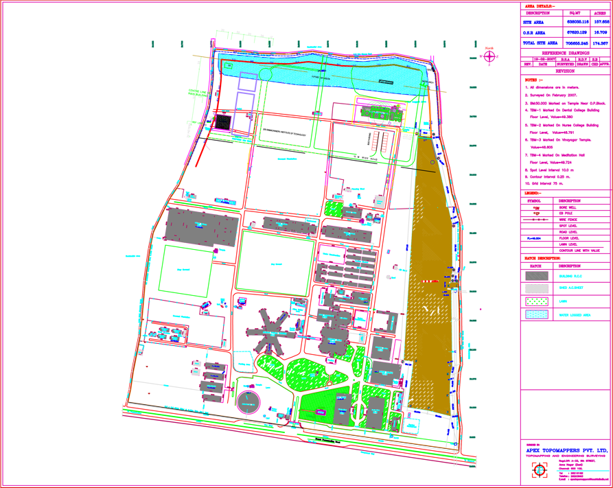


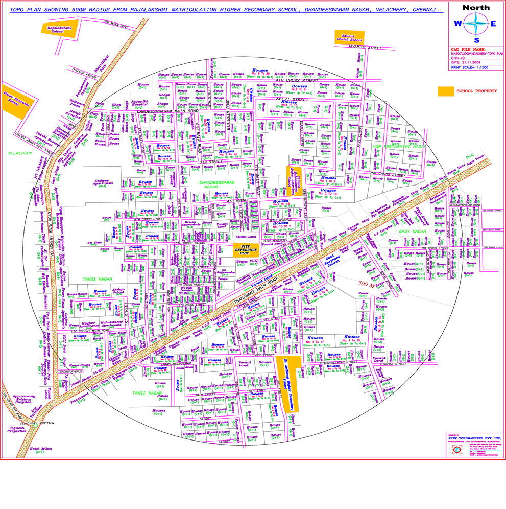
Topographical Survey is carried out by using Total Station Survey Instrument. It does capture AND locate various Topographical Features like building out line, utility buildings, sheds, internal roads, HT Tower and lines, LT poles, Transformer, sub-station, village roads, compound wall, fencing, Telephone lines, EB House, Pump House, well, bore well, ponds, bunds, lake, culvert, irrigation channels, plantation limits, trees, girth & foliage, earth pit, pavement, driveway, UG sump, lawn, storm water drain, drainage, manhole, play grounds, race tracks, and all other visible on ground features at site.