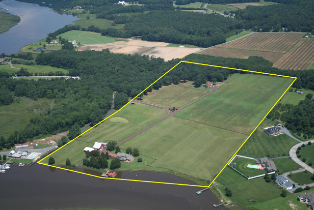

The boundary survey is being carried out on the landed property of a vast area, or wherever required by the Clients, through GPS (Global Positioning System). After arriving at the latitude and longitude coordinates of the location of the relevant site using GPS (Global Positioning System) Instrument, through satellite UTM (Universal Traverse Mercator), the Co-ordinates of X Axis and Y Axis of the Site would be arrived at. The Datum (i.e. Latitude/Longitude) would be fixed on any Permanent Location at the site. Based on the above datum, the Boundary Survey of the site would be carried out.
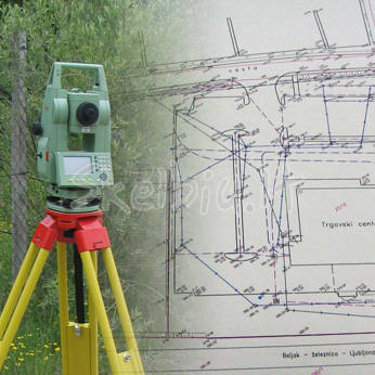
The Boundary Survey of the site can also be carried out by using Total Station Instrument based on the Boundaries shown by the Clients by fixing the Magnetic North of the Site. The above instrument gives the Correct Area of the Site with an accurate distance measurement as based on the Boundaries shown by the Clients. There is bound to have a slight variation in the Area from the FMB area, because FMB Area is being taken through Chain Measurement.