
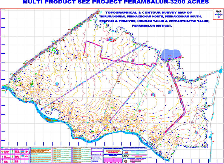
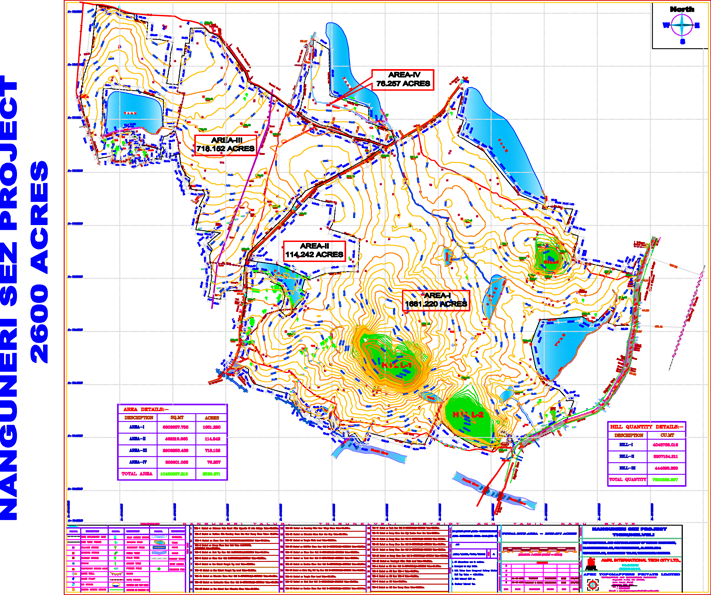
Contour survey is done to know the exact site terrain condition such as slope direction, heap / depth, etc, (undulation of the site).
The levels will be taken based on the MSL (Mean Sea Level) Bench Mark already Fixed by the Survey of India Authorities that existed in any nearby Location of the Site, like Railway Station, PWD Authorities Office etc., with its value as indicated on a suitable place. This value is identified and furnished by the Clients. The respective value will be transferred to the site Boundary, and based on it the spot levels of the entire site will be taken at relevant interval as required by the Client OR as per Site Condition.
On the other hand, if the MSL value is not available, the Contour Survey of the Site will be carried out by fixing assumed arbitrary Bench Mark value at Site at 100m or as the case may be, and based on the same the relevant Spot Levels will be taken.